‘Our DNA is of this land’: The Cherokee quest to reclaim stolen territory
Their ancestors were forced onto the Trail of Tears in 1838. Now the Eastern Band of Cherokee Indians is piecing back together their sacred sites.
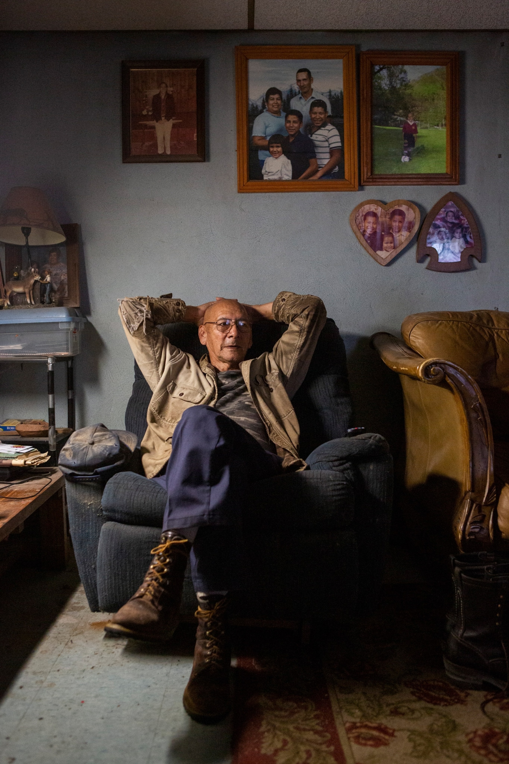
Amy Walker, 79, gets emotional each time she drives from her home in Cherokee, North Carolina, to Kituwah, a sacred site just seven miles outside of town, to tend to her four-acre garden. There, in the place where her ancestors settled thousands of years ago, she plants heirloom beans and corn, the same crops they once grew.
An elder of the Eastern Band of Cherokee Indians (EBCI), Walker says the garden keeps her connected to her identity as an indigenous woman. “Down where there are 1,000 graves on the land,” she says. “Our ancestors’ spirits are there.”


Kituwah, known as “the Mother Town,” is considered the place of origin for the Cherokee people. It is one of 25 known mounds in western North Carolina and Tennessee that once stood at the heart of every village and contained sacred fire before the Cherokee were forcibly removed from their homelands in 1838 and ordered to walk 1,000 miles to Oklahoma. The land they left behind was colonized and redistributed to white settlers. More than 150 years would pass before the EBCI would have the opportunity to reclaim ownership of land that was once theirs.
In the 1840s William Holland Thomas, the white adopted son of Cherokee Chief Drowning Bear, purchased an estimated 50,000 acres, known today as the Qualla Boundary, for those who escaped the Trail of Tears. (At the time, the Cherokee were not considered citizens and could not buy land.)
Today, about 10,000 tribal members of the EBCI still live there, in the Smoky Mountains, the direct descendants of the survivors. Since the 1990s, the tribe has been buying back historic Cherokee sites in an attempt to reclaim the land stolen from them, revive a history too often ignored, and assert their sovereignty. (Related: Sequoyah, the Native American-governed state that almost existed.)

A connection to the land
In 1996, former EBCI Principal Chief Joyce Dugan received an unexpected phone call. It was about Kituwah, then known as Ferguson fields. The owners of the 300-acre plot of farmland wanted to know if the tribe, bolstered by the rise of Indian gaming, might be interested in purchasing it. Dugan worried that the Tribal Council and the community might think there were better uses for gaming revenue, such as road infrastructure or housing. But she knew this was too important an opportunity for her people to pass up.
“When the owner asked me, I knew it was something that our tribe needed,” says Dugan, “I felt in my heart it was the right thing to do.”
After purchasing the land, the EBCI commissioned a large archaeological survey, which uncovered mass burial sites of Cherokees who had lived there a century before. Two years later, the EBCI came together with two other tribes, the United Ketoowah Band and the Cherokee Nation, to formally rededicate the land. In keeping with an old, pre-removal tradition, tribal children brought dirt from their own homes to help rebuild the mound, which had greatly reduced in size due to farming. It was an emotional moment for many Cherokees who had grown up hearing stories about the Mother Town passed down over generations.


To allow people to maintain a direct connection to Kituwah, the EBCI created small garden plots they could lease. Walker, who started her garden in 1998, sees her time cultivating the sacred land as her church. “I thought about the ions of ancestors, of their bones that are still deep in the ground, and how does that relate to me? I have a responsibility to raise the corn.”
The EBCI has since continued to acquire and protect sacred land. In May 2019, after several years of planning and negotiation, the deeds to the Nikwasi mound, one of the largest surviving mounds in Franklin, North Carolina, were transferred to the Nikwasi Initiative, a nonprofit partnership between the EBCI and the town of Franklin. Placed on the National Register of Historic Places in the 1980s, Nikwasi appears on maps as early as 1544, though its exact age is not known. (This naturalist is preserving the Indigenous history of America's outdoor spaces.)
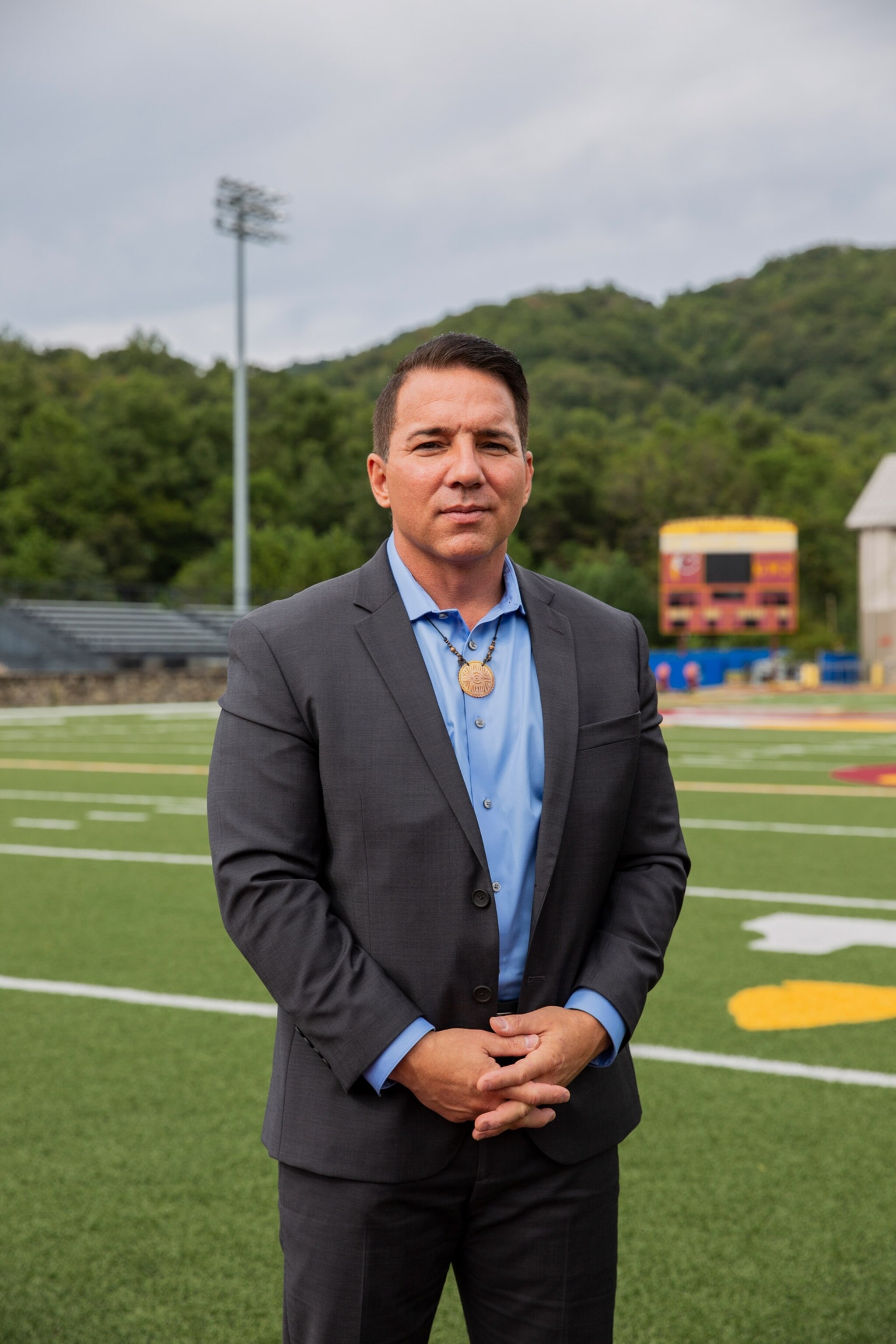
EBCI Principal Chief Richard G. Sneed believes the preservation of sacred sites is relevant not only to the Cherokee, but to everyone. Places like Kituwah and Nikwasi are not just a part of Cherokee heritage, but the history of the land before the formation of the United States. “These lands have both historical and spiritual significance,” he says. Expanding land purchases outside the Qualla Boundary is a prime example, he says, of “true sovereignty” at a time when tribal sovereignty is under threat across the U.S.


Earlier this year, sacred sites of the Tohono O'odham Nation were bulldozed to build the border wall in Arizona. In 2016, thousands of people gathered at the Standing Rock reservation to protest the Dakota Access Pipeline, which would not only risk contaminating the main water source for the Standing Rock Sioux tribe but would also desecrate their burial sites. Walker, then 75, traveled from North Carolina to North Dakota to participate in the sit-ins. (Watch: Five Indigenous communities fight for their land.)
“It was a Thursday morning in October when we arrived at Standing Rock,” she recalls. “It was cold, but I knew I had a responsibility. The way I see it, I am no different from the trees, the four-legged animals, or the birds. I live on this land and I wanted to support my people.”
In August, the EBCI broke ground for an interpretive kiosk at the Nikwasi mound, part of a larger plan to create a 60-mile Cherokee cultural corridor along the Little Tennessee River in North Carolina. The tribe has also designed programs to educate younger generations of tribal members, to help them explore their culture and figure out what it means to be Native in today’s world.


Growing up with her Cherokee mother and Lakota father, both of whom survived Indian boarding schools where Native children were sent to be assimilated into Western culture, Walker was always aware of her identity as an Indigenous person. But it was her connection to the land, as an adult, that helped her fully understand it. “I was like a tumbleweed, I wasn’t rooted,” she says, “but I understand now that our DNA is of this land.”
Related Topics
You May Also Like
Go Further
Animals
- This fungus turns cicadas into zombies who procreate—then dieThis fungus turns cicadas into zombies who procreate—then die
- How can we protect grizzlies from their biggest threat—trains?How can we protect grizzlies from their biggest threat—trains?
- This ‘saber-toothed’ salmon wasn’t quite what we thoughtThis ‘saber-toothed’ salmon wasn’t quite what we thought
- Why this rhino-zebra friendship makes perfect senseWhy this rhino-zebra friendship makes perfect sense
Environment
- Your favorite foods may not taste the same in the future. Here's why.Your favorite foods may not taste the same in the future. Here's why.
- Are the Great Lakes the key to solving America’s emissions conundrum?Are the Great Lakes the key to solving America’s emissions conundrum?
- The world’s historic sites face climate change. Can Petra lead the way?The world’s historic sites face climate change. Can Petra lead the way?
- This pristine piece of the Amazon shows nature’s resilienceThis pristine piece of the Amazon shows nature’s resilience
- 30 years of climate change transformed into haunting music30 years of climate change transformed into haunting music
History & Culture
- When treasure hunters find artifacts, who gets to keep them?When treasure hunters find artifacts, who gets to keep them?
- Meet the original members of the tortured poets departmentMeet the original members of the tortured poets department
- When America's first ladies brought séances to the White HouseWhen America's first ladies brought séances to the White House
- Gambling is everywhere now. When is that a problem?Gambling is everywhere now. When is that a problem?
Science
- Should you be concerned about bird flu in your milk?Should you be concerned about bird flu in your milk?
- Here's how astronomers found one of the rarest phenomenons in spaceHere's how astronomers found one of the rarest phenomenons in space
- Not an extrovert or introvert? There’s a word for that.Not an extrovert or introvert? There’s a word for that.
Travel
- This striking city is home to some of Spain's most stylish hotelsThis striking city is home to some of Spain's most stylish hotels
- Photo story: a water-borne adventure into fragile AntarcticaPhoto story: a water-borne adventure into fragile Antarctica
- Germany's iconic castle has been renovated. Here's how to see itGermany's iconic castle has been renovated. Here's how to see it
- This tomb diver was among the first to swim beneath a pyramidThis tomb diver was among the first to swim beneath a pyramid


